Cozumel cruise port tips
The things people ask before a Cozumel port day, answered with our own measurements where we have them: how far you can walk from each pier, which currency to carry, what the weather does month by month, and what happens if you miss the ship.
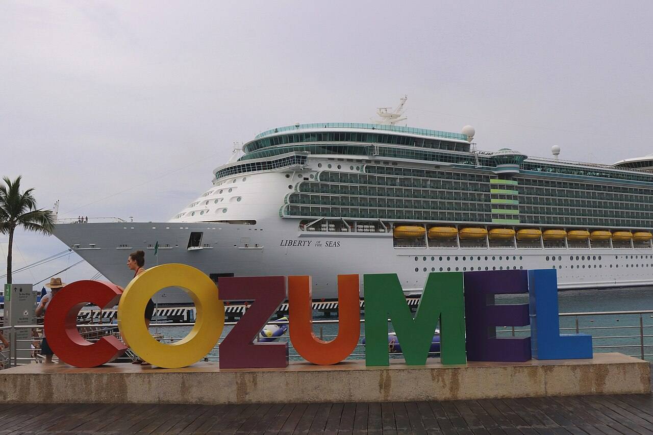
What you can walk to from each pier
Only one pier is in town. From Punta Langosta the main square is a ten-minute walk; from the two southern piers it is about an hour on foot along the coast road, which is why almost everyone there takes a $10 cab.
| On foot | From Punta Langosta | From International Pier | From Puerta Maya |
|---|---|---|---|
| Main square, San Miguel | 0.78 km, about 10 min | 4.4 km, about 59 min | 4.94 km, about 1 h 6 min |
| Ferry pier to Playa del Carmen | 0.98 km, about 13 min | 4.59 km, about 1 h 1 min | 5.13 km, about 1 h 8 min |
| Within about 900 m | Punta Langosta | International Pier | Puerta Maya |
|---|---|---|---|
| Restaurants | 68 the first about 50 m from the terminal | 9 the first about 60 m from the terminal | 9 the first about 100 m from the terminal |
| Bars | 13 | 2 | 1 |
| ATMs | 7 about 100 m | none mapped | none mapped |
| Supermarkets | 6 MEGA Soriana, about 300 m; Chedraui, about 600 m | none mapped | none mapped |
| Convenience stores | 6 7-Eleven, about 200 m | 2 an OXXO, about 70 m | 1 an OXXO, about 450 m |
| Pharmacies | 5 about 450 m | none mapped | none mapped |
| Hospitals and clinics | 4 Cozumel International Hospital, about 200 m | none mapped | none mapped |
| Shopping center | none mapped | 1 Plaza México, about 280 m | 1 Plaza México, about 350 m |
| Beach | none mapped | 1 Playa Caletita, about 1.1 km | 1 Playa Caletita, about 1.5 km |
Walking routes and distances are ours, from OpenStreetMap foot routing; counts are places mapped in OpenStreetMap within about 900 m of the pier in a straight line (the beach row: within 2 km). OpenStreetMap misses some businesses, so read the counts as a minimum. Source: OpenStreetMap data, read November 18, 2026, 2026 The southern piers also have their own shopping areas inside the gates, which are not counted here.
Dollars or pesos
- Taxis price in dollars. The fare board at the International Pier lists every fare in US dollars, per cab rather than per person: $10 to downtown, $10 to another cruise pier, $20 to the airport. Agree the fare before you get in. Source: Cruzely, photo of the International Pier fare board, 2026 Every fare on the board.
- Parks price in pesos. Chankanaab lists its adult ticket in pesos (Adult MX$589, child 4 to 12 MX$418), so paying in dollars there means someone else’s exchange rate. Source: Fundación de Parques y Museos de Cozumel, 2026
- The reef fee is in pesos too. The national park’s daily charge for snorkelers and divers is reported as MX$225, usually collected by the boat operator, while tour listings quote $10 to $11. Not verified. Reported by Cozumel Dive Hub, updated November 9, 2026, 2026
- Cash machines are at the terminals and in town. Source: CruiseSheet, Cozumel port page, February 2026, 2026 A cash machine gives pesos at the bank’s rate; change from a dollar payment usually comes back in pesos at the shop’s rate. A card without foreign transaction fees avoids both.
Weather month by month
| Month | High | Low | Rain | Rainy days | Sea | Ships a day |
|---|---|---|---|---|---|---|
| January | 81°F 27.2°C | 69°F 20.8°C | 3.2 in | 9 | 80°F | 5.2 |
| February | 82°F 28°C | 70°F 21°C | 2.4 in | 6 | 80°F | 5.0 |
| March | 84°F 29.1°C | 72°F 22.2°C | 1.3 in | 4 | 80°F | 5.1 |
| April | 87°F 30.4°C | 74°F 23.4°C | 1.8 in | 4 | 81°F | 4.0 |
| May | 89°F 31.6°C | 76°F 24.7°C | 4.4 in | 7 | 82°F | 3.4 |
| June | 89°F 31.7°C | 78°F 25.5°C | 7.6 in | 13 | 83°F | 3.2 |
| July | 90°F 32.2°C | 78°F 25.4°C | 4.6 in | 12 | 83°F | 3.3 |
| August | 90°F 32.4°C | 78°F 25.3°C | 5.6 in | 13 | 84°F | 3.2 |
| September | 89°F 31.7°C | 77°F 25.1°C | 9.4 in | 15 | 84°F | 3.0 |
| October | 87°F 30.4°C | 76°F 24.4°C | 9.6 in | 16 | 84°F | 3.3 |
| November | 84°F 28.8°C | 73°F 23°C | 4.8 in | 11 | 82°F | 4.3 |
| December | 82°F 27.7°C | 71°F 21.6°C | 4.2 in | 10 | 81°F | 5.2 |
These are long-term averages, not a forecast and not 2026 measurements. March and April are the driest months; September and October bring the most rain, about four times March’s. The sea never drops below about 80°F, so a rash guard is for sun and reef rules, not warmth. “Ships a day” is ours, from the port’s calendar for the past year, counted on days with at least one ship. Storms and seaweed: the best time to go.
Sources: Climates to Travel, air 1991–2012 and sea temperature (climatestotravel.com); Colegio de Postgraduados normals via Wikipedia, rainfall (en.wikipedia.org). Checked November 2026.
If you are running late, or the ship has gone
- Before you go ashore: photograph the page of the daily planner with all aboard and the port agent’s phone number, and carry your passport or the ID your line asks for. That number is the one that helps; the ship itself does not wait.
- If you will be late: call the port agent from the planner as soon as you know, not at all aboard. From the southern piers, getting to Punta Langosta or back costs one more $10 cab ride, so a wrong-pier taxi is the cheapest mistake to fix.
- If it has sailed: go to the terminal gate of your own pier and ask for your line’s port agent. Rejoining at the next port or flying home is arranged and paid for by you. Cozumel has its own airport, $20 cab from the piers, and a ferry to the mainland; the ferry page has the last boats.
- How to not need any of this: every “leave by” time on this site keeps 60 minutes in hand before all aboard, which itself is about 60 minutes before sailing. Check whether your ship’s clock matches the island’s.
Fares from the International Pier board (Cruzely photo, November 3, 2026). The steps above are our advice, not a cruise line’s policy; your ticket contract and the daily planner set the rules. Calls counted from the port authority’s calendar, read November 18, 2026.